The Chaotic Weather of the Amazon Basin Lends Itself to Great Kayaking in Ecuador
Enjoy this great blog from Larry on the various natural forces that play out to create the erratic weather we see in Ecuador's Amazon Basin:

There are two opposing marine currents that influence the climate of Ecuador’s Andes and coast. From December to May, the warm current of El Niño coming from the north occurs in the Pacific Ocean and for the rest of the year, the cold Humboldt current comes from the south. When one of these currents becomes stronger and persists longer than normal, there are variations in precipitation in the western half of Ecuador. If the El Niño current is stronger and lasts longer than the Humboldt Current, the rains on the continent increase. If the Humboldt is stronger the rains decrease. This fascinating effect can be felt as far away as the western USA influencing our winter snowpack.
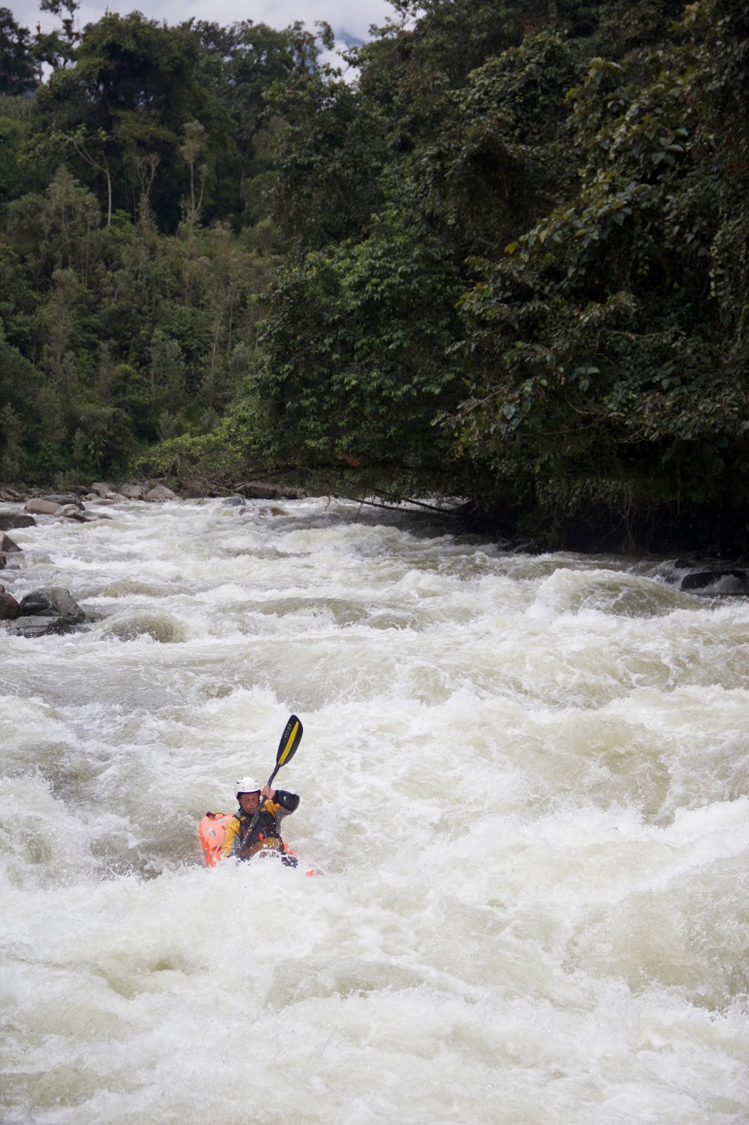
Greg (aka Colorado) boofing the last rapid (aka Fonzarelli) of the Oyacachi at a nice, medium level.
One of the most common questions about this area is “what
will the weather be like.” Since there is no reliable forecast and not much of
a trend week to week the answer is easy, “no one knows”. If you want to try to understand some of the
variables that occur in the crease between the Andes
and the Amazon basin where we paddle here are some of them.

Darcy and Shannon playing amongst the giant boulders of the Chingual River. This is a low flow for this run. It's definitely "game on" when the water is high and those big boulders are giant pour overs!
There are two opposing marine currents that influence the climate of Ecuador’s Andes and coast. From December to May, the warm current of El Niño coming from the north occurs in the Pacific Ocean and for the rest of the year, the cold Humboldt current comes from the south. When one of these currents becomes stronger and persists longer than normal, there are variations in precipitation in the western half of Ecuador. If the El Niño current is stronger and lasts longer than the Humboldt Current, the rains on the continent increase. If the Humboldt is stronger the rains decrease. This fascinating effect can be felt as far away as the western USA influencing our winter snowpack.
The entire Quijos Rivers squeezes through this canyon--amazing!
Oddly it doesn’t have a huge direct effect of the rain in
the upper Amazon basin since the high peaks of the Andes
combine with the prevailing eastern winds to keep that moisture away. I just wanted to explain that although El
Nino occurs off the coast of Ecuador
it isn’t the driving rainfall factor where we kayak.
So where does the rain that rules our rivers and paddling
lives in Ecuador
come from?
Werner boofs "Da Boof" on the Oyacachi at a healthy medium flow
About half of the precipitation is brought to the upper
Amazon basin where we kayak by eastern trade winds, while the other half is the
result of evapo - transpiration from the vast forest that covers the basin.
Warm days often are followed by convectional rainfall but there is more to it
than that. Those eastern winds bring
lots of moisture from long distances so although locally hot sunny days have an
effect they don’t rule the weather entirely.
Dogs and monkeys playing together in Puerto Misahualli. This has nothing to do with water levels...but it's cute!
Orographic
lift occurs when an air mass is forced from
a low elevation like the lower super- humid Amazon basin to a higher elevation
like the Andes (remember those eastern trade
winds). As this humid air mass gains altitude it cools down, which can raise
the relative humidity to 100% creating clouds and, under the right conditions,
rain. Wet orographic climate is definitely found on
the eastern slopes of the Andes
Mountains.
Greggy enjoying some big water on the Rio Quijos. It's amazing what 3 centimeters of rain overnight can do to the river!
So, the rain here is usually caused by both hot days
creating convectional rain and orographic lifting from the trade winds. It is kind of a one/two punch that ensures
both water in the Ecuadorian rivers and an almost full time job for SWA guides
figuring out which run will be the best for the day. The locals have lots of sayings and superstitions
about the weather and most of them mean change is on its way. The rainfall and topography create unique
mega-diverse forests found in the drainages where we kayak and of course lots
and lots of great rivers.
Guy enjoying a splashy big water day on the Rio Cosanga.
And, to bring it all full circle, the best answer to the
question, “what will the weather be like,” is the only certainty with the
weather in Ecuador
is that nothing is certain!
Liam gets in his big water groove as he starts to be one with the push of a high water Oyacachi
We’ve been keeping track of the weather trends and a great
example of this is:
Last year--2012, our last week of the season, February 25th-March
4th, we had dry weather (less than 2 centimeters of rain for the week), low water
levels and the average level on the gauge rock outside of our lodge was 10.
Damian, showing the advantages of low water--the boofs are pretty sweet!
This year—2013, our last week of the season February 23rd-March
3rd, we had incredibly wet weather (19 centimeters for the week),
high water levels and the average level on the gauge rock was 18.
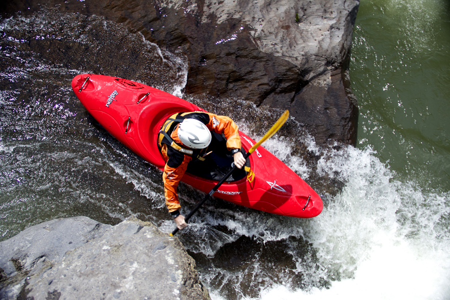
Migual (aka Pilsiner Kitty) boofing the Recon on a perfect Piatua day
But that’s all part of the adventure. On both trips, we paddled great rivers every
single day, but, hey, that’s what SWA guides do!
Will lost in an array of holes on the Chingual. It doesn't necessarily take huge levels to make munchy holes...


